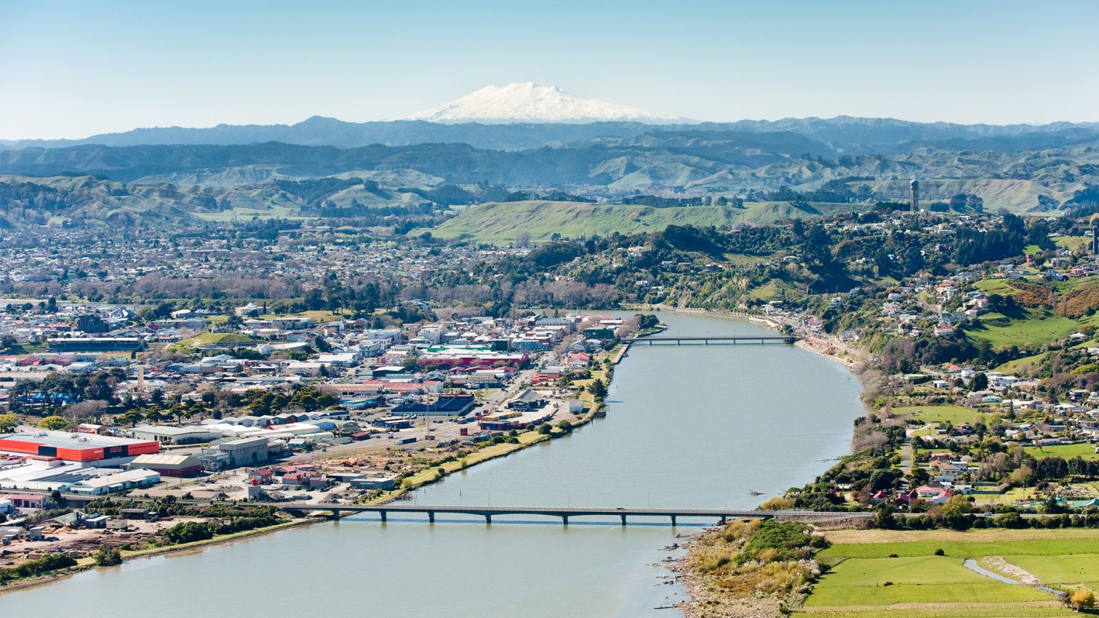
Awa, or rivers, are the arteries of the landscape in Aotearoa New Zealand. In the Horizons Region, many communities have grown alongside them. But how do we know if they are healthy?
Recent Freshwater legislation (the National Policy Statement for Freshwater Management 2020) put the health of the awa at the centre of decision making and councils want your opinion on how to improve them.
The network of rivers and streams in the region is long. In fact, there are over 35,000 kms of waterways - almost the distance of a return flight from Auckland to London, or driving from Cape Reinga to Bluff nearly 17 times. That said, freshwater – including rivers, streams and lakes as well as all drinking water - accounts for only 3% of all the water on the planet, so we must care for every drop.
Measuring the health of the awa
“Is the awa healthy?” is not an easy question to answer. Many factors affect the health of a river. This includes natural triggers like climate, landscapes, soils and varying amounts of land cover by plants and trees. Manmade factors include waste disposal, roads and their development, agricultural pastures and plains and urban centres. The health of a river changes as it moves from its source to the sea.
The answer to whether a river is healthy or not also depends on the background to your question. Each of the indicators scientists measure have different limits describing what constitutes a healthy river, depending on what you are intending to do or how you use it. For example, water quality measures depend on the expectations you have for the water. The safe levels of a measure will be different, depending on whether you want to swim in the water or if you want animal life in the river to thrive in it.
River ecosystem health is made up of many different components, and any one component can cause poor health or a combination of things can act together. All of the ways of measuring river health, form pieces of one large puzzle that make up the ecosystem around the river.
If we look at the water specifically, contaminants like sediment, nitrogen, ammonia, phosphorous, or E. coli bacteria to name a few, can influence the health of the awa and the way we interact with the water. Some of the contaminants interact with or influence each other to create follow on or bigger effects.
As an example, let’s look at land nutrients like nitrogen or phosphorous. These nutrients are great on land to make plants grow. But if washed into the river, high concentrations can cause algae (periphyton) to grow excessively (and that can be measured). This in turn influences the type of macroinvertebrates – a community of small water animals like insects, worms and fly larvae. The algae also impacts the fish populations (another measure), as it can impact on oxygen levels in water and change the food available for fish.
As the amount of water (flow) decreases in the river each of these issues intensifies. This complexity of factors impacts on every river, and the accompanying plants and animals that live or grow within it or alongside it.
So how can we possibly influence such a complex picture of ecosystem health to help rivers improve?
Horizons regional plans and policies set targets for improvement of freshwater health. Regulations around land use, discharges, earthworks and water allocations limit contaminants entering the river and water removal.
Non-regulatory programmes work alongside (mostly rural) landowners to incentivize caring for the natural environment. Stream fencing and riparian planting, hill country retirement and erosion control all contribute to helping rivers stay healthy to prevent the contaminants discussed here entering the waterways.
How you can help
Those living in towns and cities across the region can contribute. You can help by collecting litter, reducing plastic waste, not discharging contaminants into storm water drains that flow directly into the river (this means washing cars on the lawn and not the driveway), reporting pollution, reducing water use, and planting trees.
Supporting all the programmes are the Horizons staff that collect and analyze information to determine if these efforts by our farmers, communities, schools and you, are working. The Horizons region is blessed with one of the largest monitoring networks in New Zealand. This data the network produces is reviewed to determine how policies and initiatives are working. The more information we have, the clearer picture we can create of waterway health, the better future decision making will be.